Choose where you matter.
Define the storefront, entrance, building or parcel your experience belongs to. Agree on the supported area and validate its physical alignment.
Bring your brand, information and next action into the real-world camera view. A5B is building geospatial AR software that connects digital experiences to physical places.
For businesses, marketplaces and teams whose work happens at real locations.
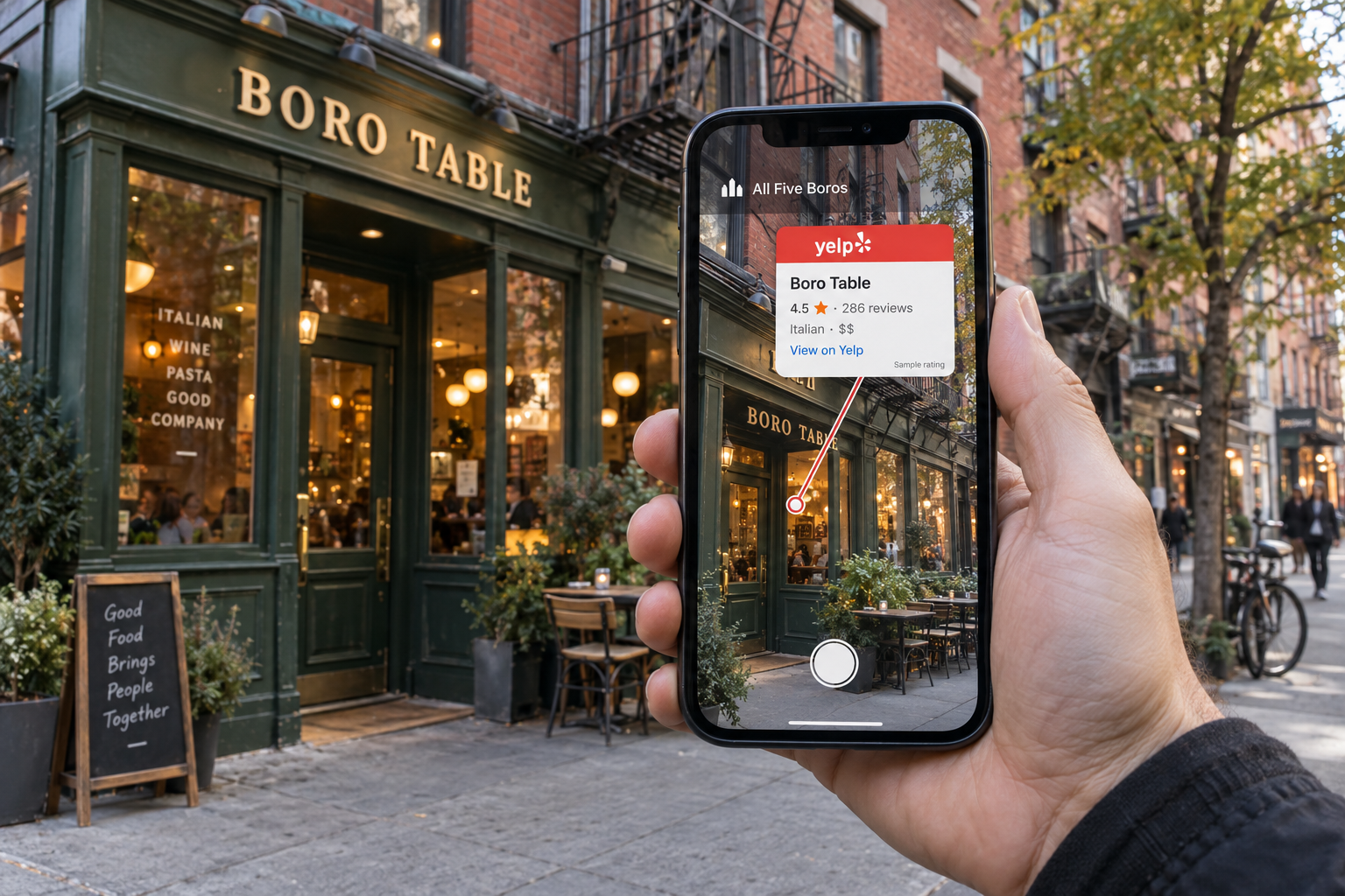
Help customers discover, evaluate and take the next step—and give field teams the instructions they need at the right location. Explore these proposed business experiences.
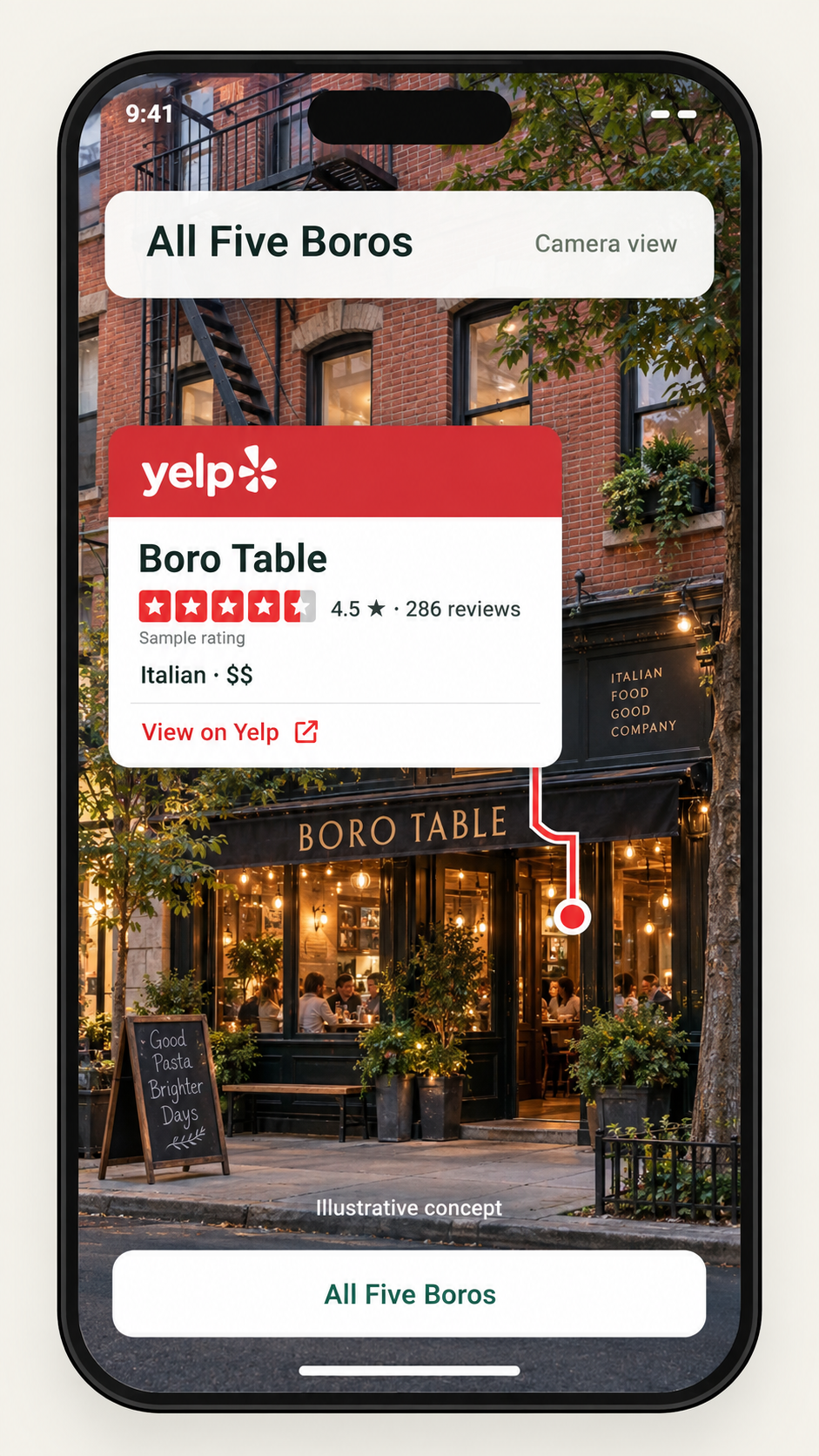
Bring reviews and restaurant details into the street view, with a clear path to your discovery or reservation experience.
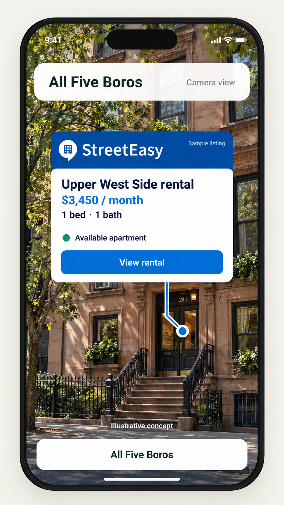
Show prospective renters what is available where they are looking, then connect them to the listing or inquiry flow.
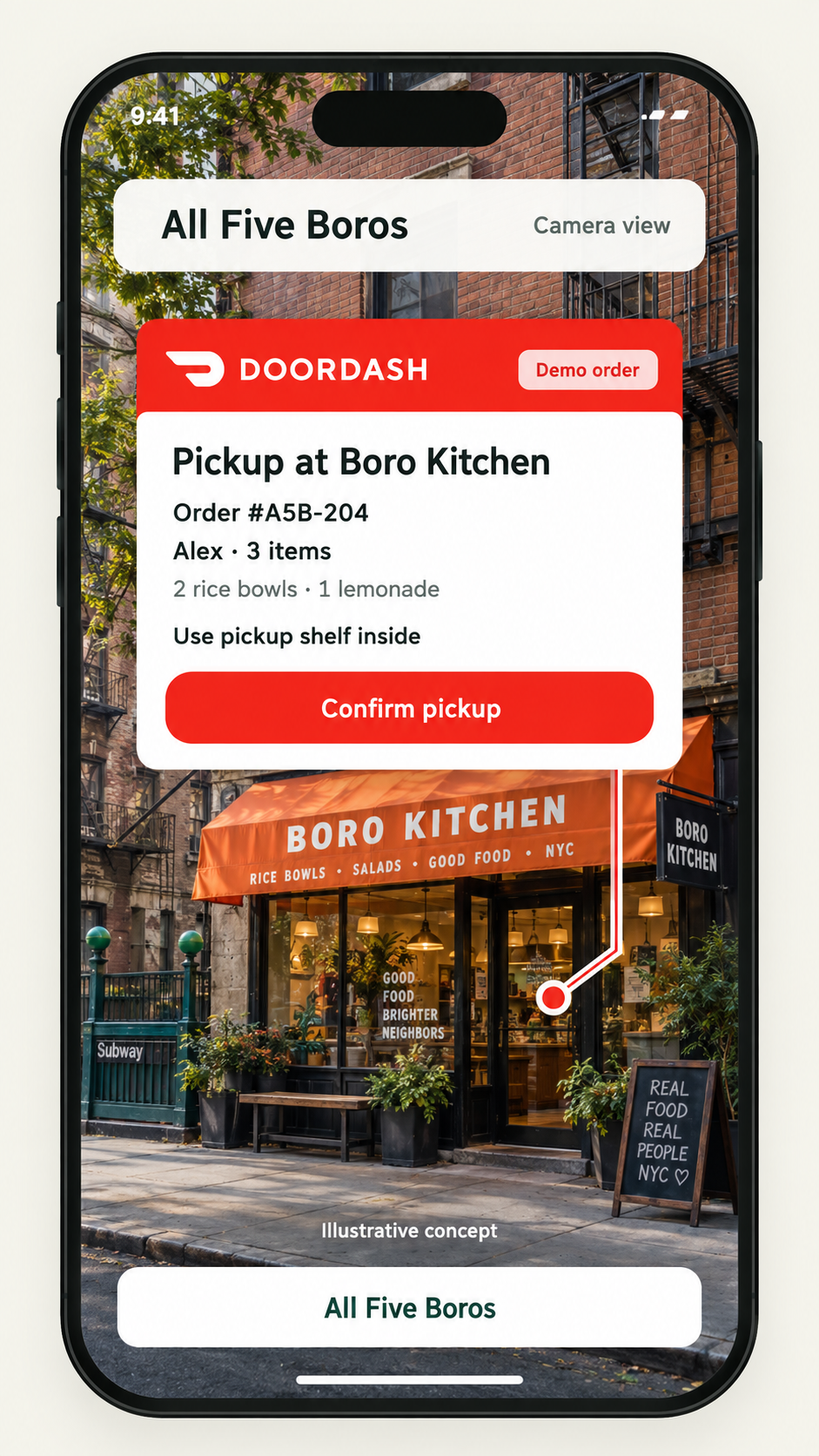
Put order details and entrance instructions at the pickup location, helping couriers identify the right door and next step.
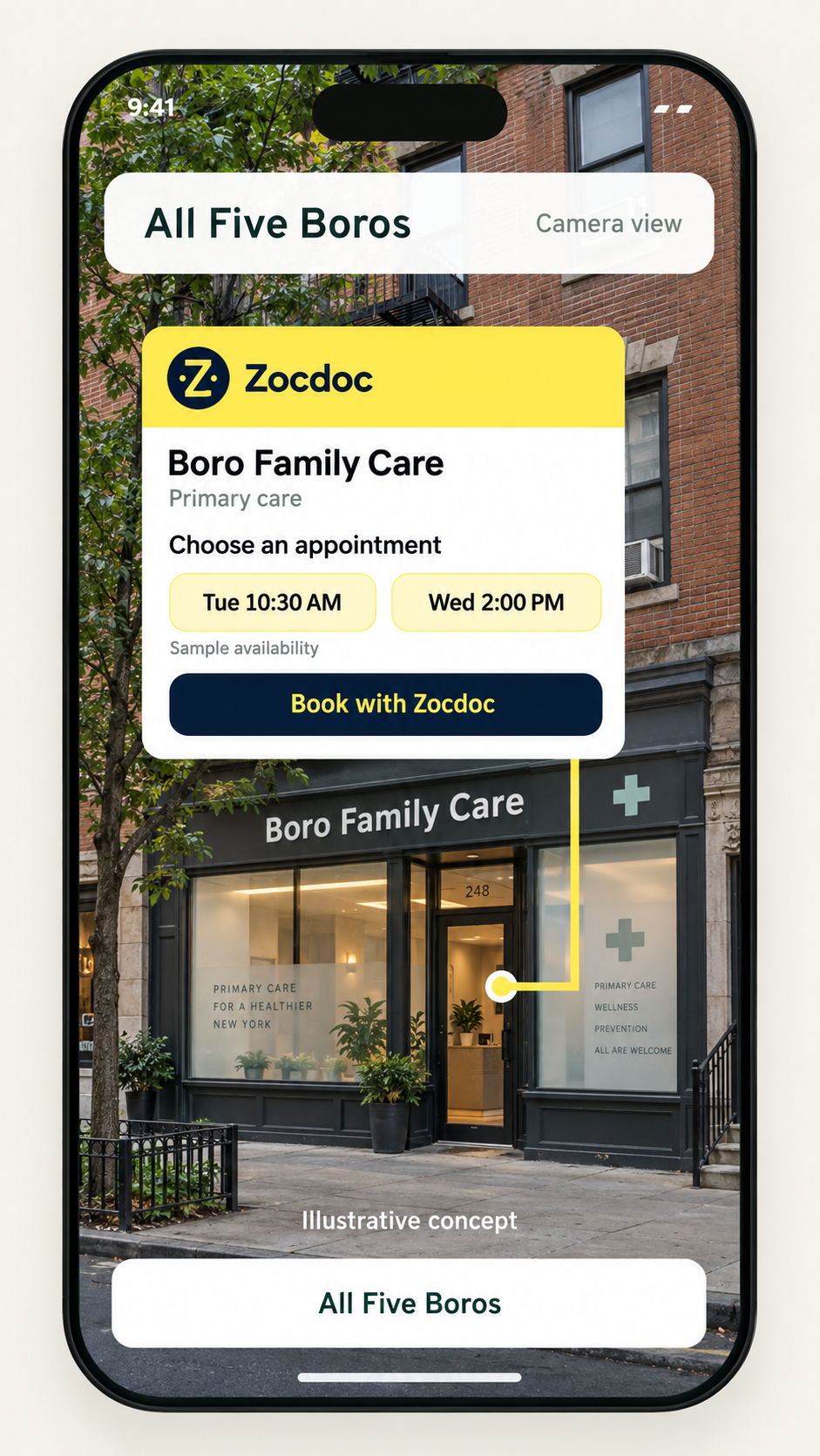
Help people identify your practice and move from the office storefront into your appointment-booking experience.
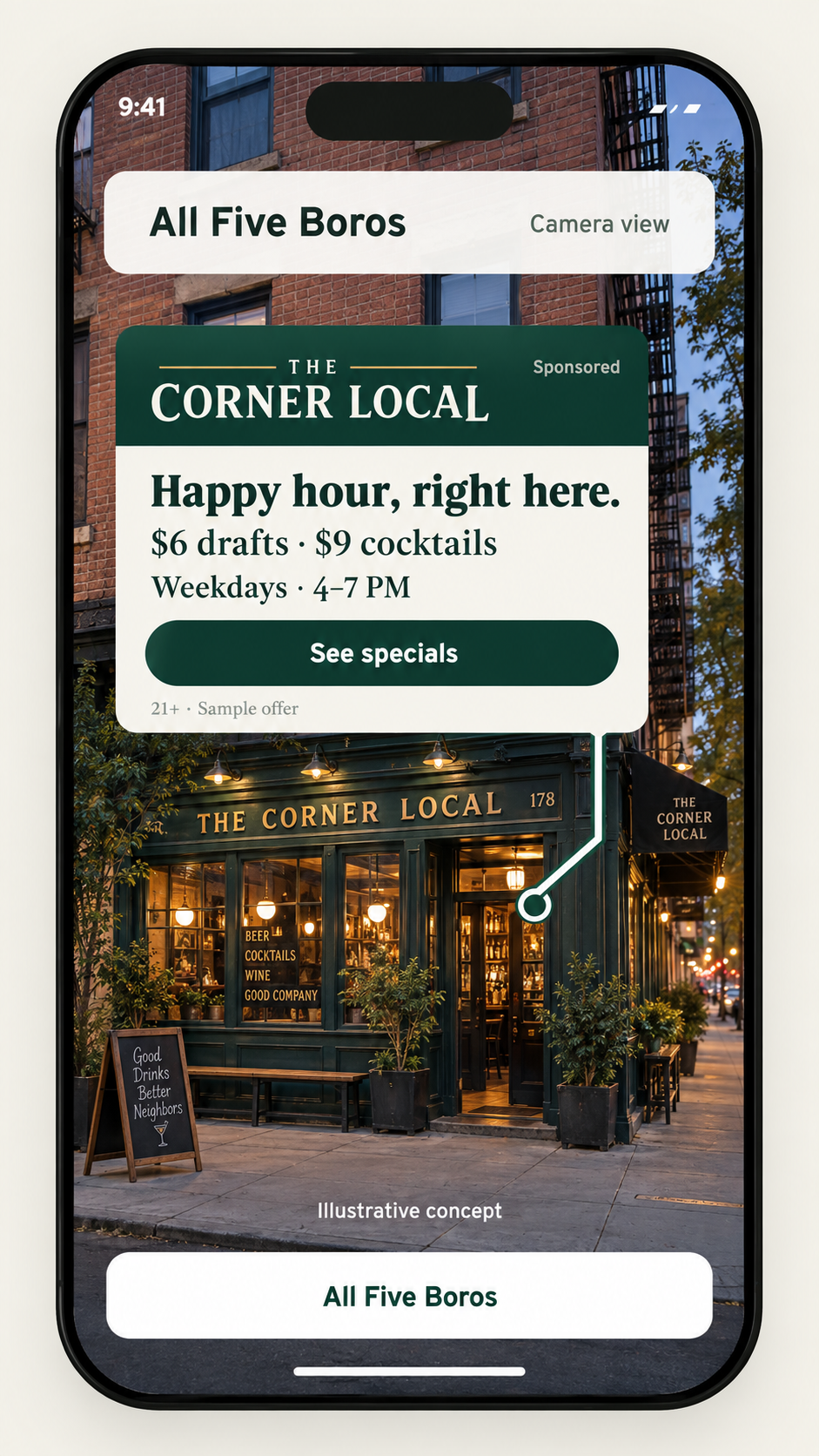
Give nearby customers a relevant reason to visit with branded offers connected to your venue and clearly labeled as advertising.
Proposed integration concepts only. Sample businesses, ratings, listings, orders, appointment times and offers. No live availability or partnership is implied. Brand names belong to their respective owners.
A listing belongs on its building. A pickup instruction belongs at the restaurant entrance. An offer belongs outside your venue. A5B’s vision is to connect each digital interaction to the physical place that gives it meaning.
A focused pilot starts with one location, one useful experience and a clear business objective.
Define the storefront, entrance, building or parcel your experience belongs to. Agree on the supported area and validate its physical alignment.
Design a branded card around the information people need there: a listing, review, pickup instruction, appointment or offer. Scope the data source and update requirements.
Define the intended handoff into your business workflow—view a listing, book a visit, follow pickup instructions or explore an offer—and test it with users.
Start with the moment you want to improve. We can shape the experience around the location, the person using it and the action that matters to your business.
Development stage: the underlying iPhone prototype is being tested on three NYC study blocks. Business integrations, field accuracy and commercial availability still require validation and scoping.
Businesses with physical locations, marketplaces connecting customers to places, and operations teams working at specific destinations. The examples above show proposed ways geospatial AR could support these workflows.
No. These branded examples illustrate potential use cases. They do not represent existing partnerships or connected services. Any integration would require access, permission and technical scoping with the relevant service.
Not yet. A5B is in development, with an iPhone prototype and three NYC study areas. Outdoor alignment and accuracy remain to be validated. Automatic recognition is currently disabled, and commercial deployment is not yet available.
That is the direction of the business offering. A pilot would define your card design, authorized data sources, content updates and the destination of each action. No public SDK, self-service publishing tool or production integration is being offered on this preview.